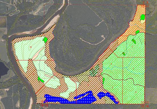
Clients with acreage of all sizes appreciate our ability to take aerial photography and reproduce enlarged maps up to 42 inches in size. We can add any features to the map you would like such as place names, topographic contours, or calculate stand or tract acreages. These maps are useful to landowners for understanding of forest management practices, giving directions, and visualizing assets. Hunting clubs can use these maps to show food plot locations, setup man drives, and help in understanding wildlife travel patterns. There are too many uses for these maps to describe here. The maps also look great when framed and placed on the wall of your camp or office and will serve as an interesting conversation piece for years to come.